

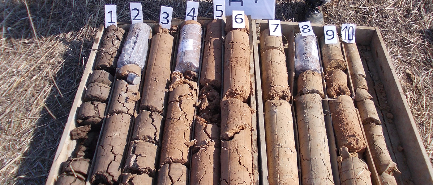
The engineering geological and hydrogeological prospection of the terrain and its engineering geological and hydrogeological mapping, and surveying is carried out as first phase of the investigative work. In order to determine the characteristics of the terrain, an investigative drilling and digging of investigation wells was carried out.
As a next stage, a detailed mapping of the material excavated from the wells and boreholes, and taking representative samples for laboratory testing was carried out, i.e. defining the physical and mechanical properties of materials represented on the site.
During the field work, a standard dynamic penetration (SPT) was carried out. Based on the above, an Elaborate was prepared in which the results of the testing are presented:
• The graphical part of the Elaborate includes: geological, hydrogeological, seismic and engineering geological map, individual profiles, and characteristic transverse and longitudinal profiles;
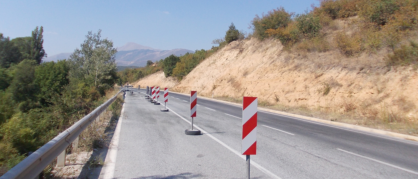
• The textual part of the Elaborate lists the geological, hydro-geological and geo-mechanical characteristics of the terrain. Based on the geotechnical investigations, selected parameters of the represented materials have been adopted for future use. Additionally, the characteristics of the unstable zone, the reasons for its occurrence, as well as proposals for the rehabilitation of the instability of the road are covered.

- 1
- 2
- 3